Montana Department of Natural Resources and Conservation
Jefferson River Floodplain Study
Actual Flooding Event

Created Model of Flooding Event
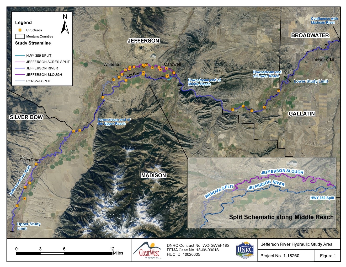
The Montana Department of Natural Resources and Conservation (DNRC) is a Cooperating Technical Partner (CTP) for the Federal Emergency Management Agency (FEMA). They share the goal of predicting flood risk to protect public health and safety. Great West, under a contract with the DNRC, completed a hydraulic analysis and floodplain mapping of the Jefferson River from its confluence (the joining of the Beaverhead and Big Hole Rivers) to a point 61.5 miles downstream near the town of Willow Creek, MT. The floodplain study determined the 100-year and the 500-year floodplains and was based on the best available information including LiDAR, bathymetric and structure surveys, and a new hydrologic analysis developed specifically for the mapping update. One- and Two-dimensional hydraulic models were used to accurately predict the flow path and depth of the floodwaters. The study will be used by FEMA to create new Flood Insurance Rate Maps (FIRM), which will be used for the administration of local floodplain regulations and to calculate flood insurance rates.
Project Highlights
- 28 hydraulic structures (bridges, culverts, diversions, and roads) included in the model
- Quasi-2D methods used to model numerous flow splits
- 2D model used to inform 1D cross section layout and calculate split flows and overflows
- Model was calibrated to USGS stream gages and historic flood photographs
- GIS digitizing of waterbodies for Manning’s ‘n’ assignment and cross section geometry
- GIS processing for land cover data for Manning’s ‘n’ assignment
- Raster georeferencing for historic aerial flood photos
- Raster mosaic creation for LiDAR tiles
- Project cost $260,000
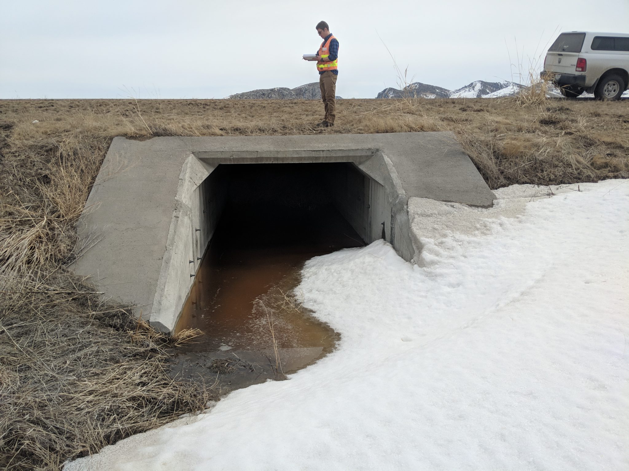
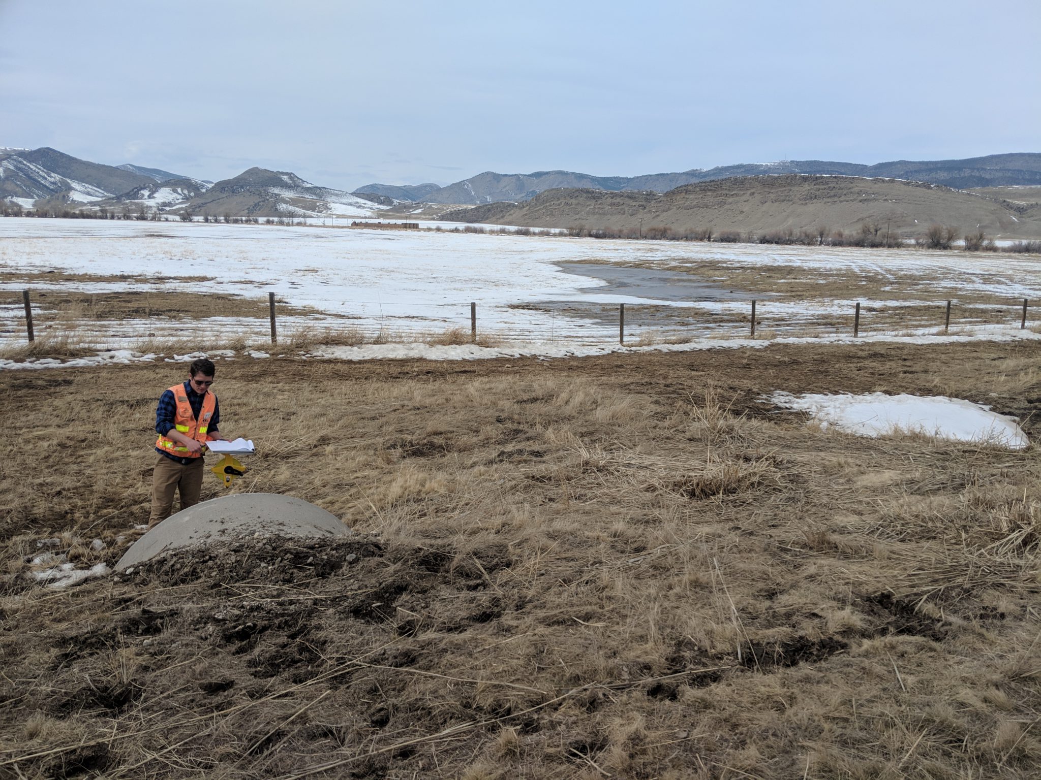
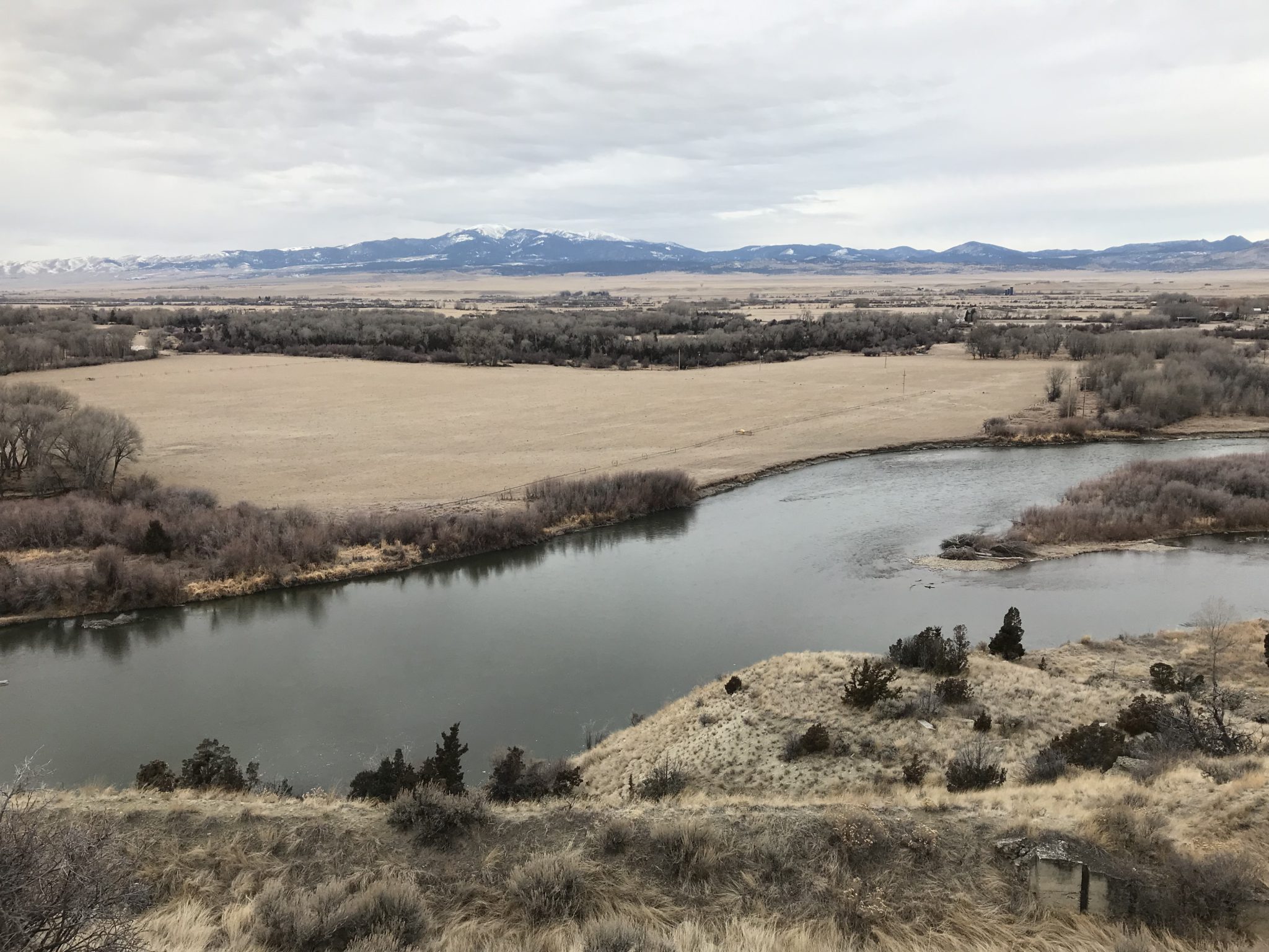
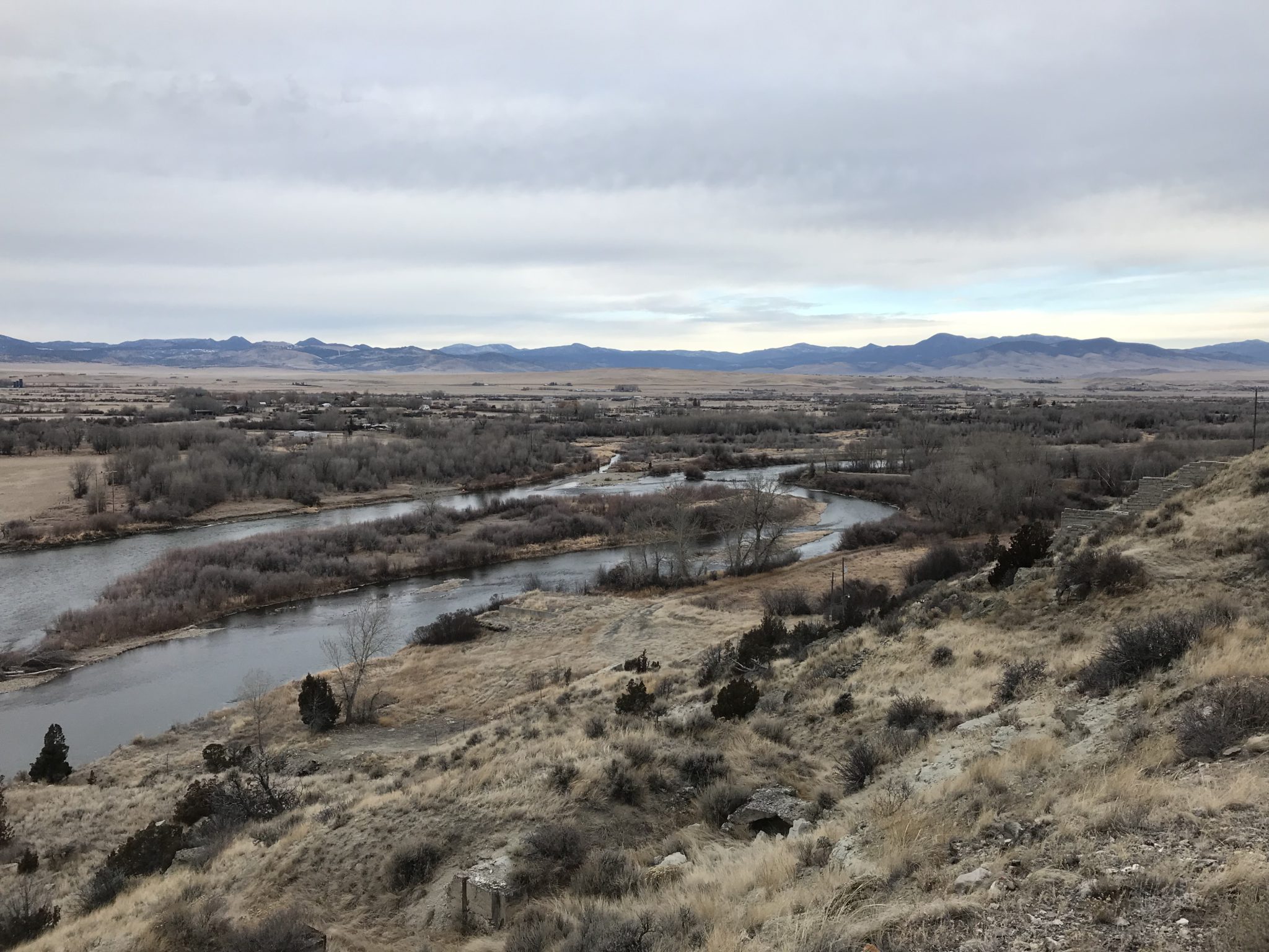
Project Photos
View More Natural Resources Projects
Storage • Distribution • Treatment • Supply • Hydraulic Modeling • Preliminary Engineering Reports/Facility Plans
Work With Us
BILLINGS | BOISE | GREAT FALLS | HELENA | SPOKANE